Jakob Lang · 25 October 2026
Patterns in Amateur Naturalist Submissions That Influence Database Corrections for Rare Flora Entries
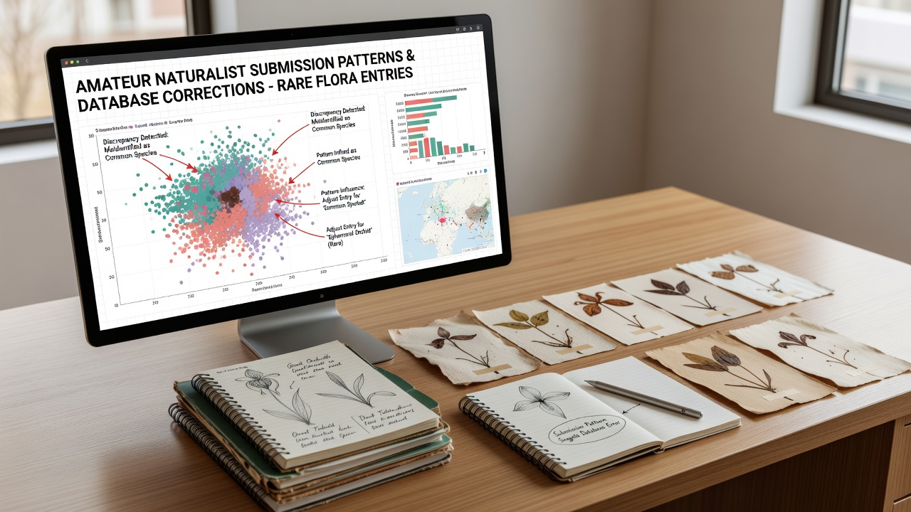
Amateur naturalist submissions feed into botanical databases at growing rates, and certain recurring patterns in those entries prompt systematic corrections for rare flora records. Researchers track these inputs through platforms that aggregate field observations, photographs, and location data, then compare them against verified herbarium specimens and historical distributions. Data from multiple regions shows that misidentified species, imprecise geolocation, and seasonal timing clusters often trigger review processes that update or remove entries.
Recurring Submission Patterns
Observers note clusters of reports during peak blooming periods for certain rare plants, and these spikes frequently include entries that list incorrect associated species or habitat details. In October 2026, for instance, submissions for late-season alpine flora increased across northern databases, yet many carried coordinate errors that placed plants outside known elevation ranges, prompting cross-checks with satellite imagery and regional floras. Experts at institutions such as the Australian Government Department of Climate Change, Energy, the Environment and Water have documented how such timing patterns correlate with higher correction rates for threatened orchid and shrub entries.
Another common pattern involves repeated submissions from the same geographic clusters, where multiple contributors document the same individual plants over short intervals. This repetition can highlight discrepancies in flowering stage descriptions or leaf morphology notes, leading database managers to flag records for expert verification. Those who analyze submission logs find that entries lacking photographic vouchers receive corrections more often than those with clear images, because visual evidence allows direct comparison against type specimens.
How Corrections Get Triggered
Database teams apply automated filters first, scanning for outliers in latitude, longitude, and elevation against established species ranges. When amateur reports deviate beyond set thresholds, the system routes them to manual review, and curators then consult regional herbaria or contact local experts. Research indicates that location inaccuracies account for the largest share of corrections in rare flora datasets, followed by taxonomic misassignments that confuse similar-looking congeners.
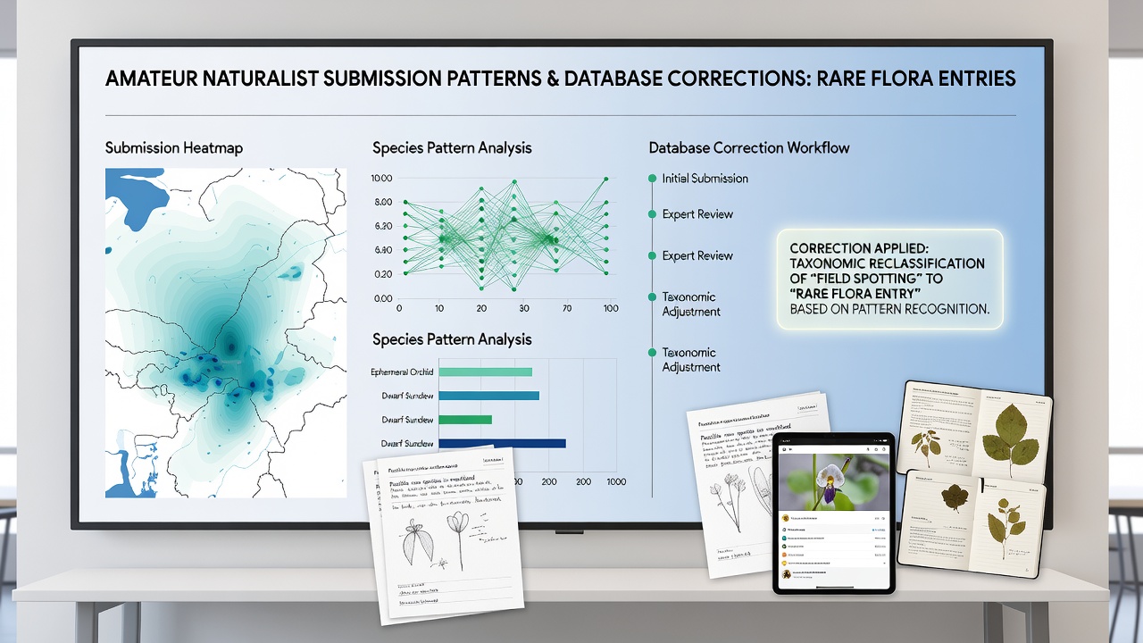
Patterns also emerge around habitat descriptors, where contributors use generalized terms such as "woodland edge" without specifying soil type or canopy cover. These vague entries sometimes contradict detailed ecological surveys already in the database, so reviewers refine or remove the conflicting data. Figures from citizen-science aggregation projects reveal that submissions accompanied by multiple angles of the same plant reduce the likelihood of later corrections, because additional views clarify diagnostic features that single photographs might obscure.
Regional and Temporal Variations
Submissions from urban-adjacent reserves show different error profiles than those from remote wilderness areas, with the former more often corrected for cultivated escapes mislabeled as wild populations. In contrast, remote-area reports frequently require elevation or coordinate adjustments because GPS devices perform less reliably under dense canopy. Canadian studies coordinated through Environment and Climate Change Canada have tracked how these regional differences affect overall database accuracy for species listed under the Species at Risk Act.
Temporal patterns extend beyond seasons to include event-driven surges, such as after publicized rare-plant discoveries or during organized bioblitzes. These events generate volume that overwhelms initial screening, and subsequent audits identify clusters of duplicated or transposed coordinates that require batch corrections. Observers note that the volume itself becomes a signal, because high-density submissions in small areas often indicate either genuine population finds or systematic GPS bias that needs calibration.
Conclusion
Patterns within amateur naturalist submissions continue to shape how rare flora databases maintain accuracy through targeted corrections. Location precision, photographic documentation, and seasonal timing all serve as indicators that guide review priorities and verification protocols. As submission volumes grow, the same recurring structures help curators allocate resources efficiently while preserving the integrity of records used for conservation planning and research.